Monday 5/7, we left Keyhole State Park near Moorcroft, WY
and headed west for a while on I-90. We
went through Gillette to Buffalo where we took I-25 South to Cheyenne. This was the first leg of several days to get
us to Arizona. As we got closer to
Buffalo, the Big Horn Mountain Range came into view – pretty impressive with
all the snow-covered mountain tops.


There were no convenient state parks, so we stopped for the night in a commercial RV Park. You can see from the picture why we don’t stay in these commercial places unless we have to. The sites are always just jam-packed side by side – plus they are a lot more expensive than state or federal parks.

Tuesday, it was back out on I-25 still headed south. Not quite as far on this leg – 298 miles. We didn’t have far to go to cross into
Colorado and pretty soon started seeing the snow-capped Colorado Rockies.


South of Denver we started climbing and topped out at 7352 feet elevation at Monument Hill. Once over that high point, we dropped back down to and averaged about 6000 for the rest of the day’s drive. Still lots of snow-covered mountains in the distance – beautiful. We stopped at a scenic pullout just north of Colorado Springs which overlooks an airstrip for the US Air Force Academy, an Air Force stadium (not the big Air Force Falcon Stadium), and Pikes Peak in the distance.


We stopped for the night at Trinidad Lake State Park just outside the town of Trinidad, CO (elevation 6200 ft). Kind of a hassle to get to, and it has a more arid (desert looking) landscape, but at least the sites are not jam packed in side-by-side like the commercial RV parks.


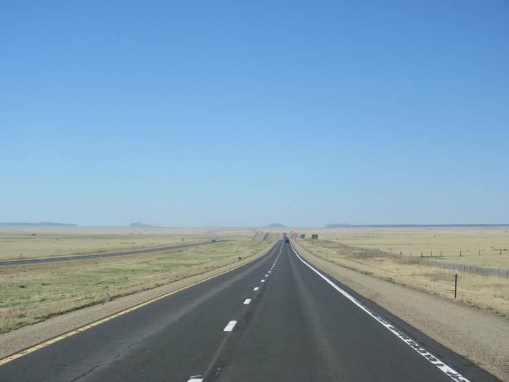
The landscape was more miles & miles of high prairie,
high desert, and then vegetation with lots of juniper & other scrubby
trees. Started seeing lots of cacti.

Before we got to our destination for the night, we
stopped at Walmart in Truth or Consequences, NM (I know, Diane – your favorite
town). You know it gets hot here in the
summertime – all of the parking at Walmart is covered, and high enough for a
motorhome.

After a really long day, we arrived at Caballo Lake State Park about 15 miles south of Truth or Consequences (elevation 4245) and got into our reserved site. We are now really in the desert country and it is HOT – was around 100 degrees late in the afternoon. From our campsite, you can’t really see the lake (unless you get on the roof of the motorhome), but the rugged mountains across the lake are beautiful.


Tomorrow is on the road again, but thankfully not nearly
as far as the previous days. We are
headed to Kartchner Caverns State Park a few miles south of Benson, AZ. Until next time -------
No comments:
Post a Comment